|
Photo Album Maps & Atlases >
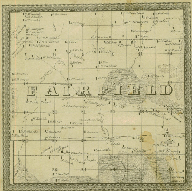
Fairfield - 1867
Fairfield - 1867
Submitted by Bob Johnson
FAIRFIELD - This town has some swamp land, but a large portion of it is farming land, although not as good as the land in the central portion of the county; nevertheless it is well adapted to grain or grass.
This town has a fair supply of timber. When Green River is high, the water runs into this town in Section 1, passes through the central portion along what is called Sodtown slough, and goes into the river again in Section 3, town of Gold. A dam in contemplation of being built, to prevent this flow of water.
The post-office for this town is York Town (note: this how it is spelled in the book, with a space between York and Town).
The first settlement was made in 1838, by Frances Adams and James D. Bingham on Section 23 and 24; in 1839, Samuel D. Braday settled where he now lives; in 1840, Wm. Adams settled on the farm now occupied by him; in 1842, Jacob Sells, Elijah Olmsteed, Daniel Davis, and Lewis Burrough settled in this town.
The settlement of York Town commenced in 1846. Population 653
Source: MAP AND SKETCHES OF BUREAU COUNTY, ILL., BY N. MATSON. Published by the author, Chicago: George H. Fergus, Book and Job Printer - 1867
Entered according to Act of Congress in the year 1867, by N. Matson, in the Clerk's Office of the District Court of the U.S. for the Northern District of Illinois.
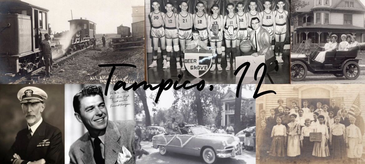
TAMPICO AREA HISTORICAL SOCIETY - MUSEUM - FAMILY HISTORY LIBRARY/RESEARCH CENTER 119 Main St., P. O. Box 154, Tampico, IL 61283 www.tampicohistoricalsociety.com tampicoareahistory@gmail.com We are an all-volunteer organization so your donations are always appreciated! Sign up to receive our e-newsletter. Thank you! Visit us on FACEBOOK.
|